


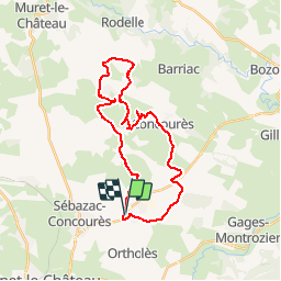

39 km | 51 km-effort


Gebruiker


Gratisgps-wandelapplicatie
 SityTrail
IGN / Geografische instituten
SityTrail World
De wereld gaat voor u open
Tocht Mountainbike van 30 km beschikbaar op Occitanië, Aveyron, La Loubière. Deze tocht wordt voorgesteld door tracegps.
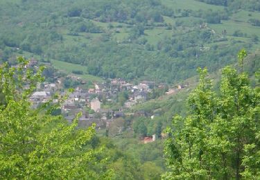
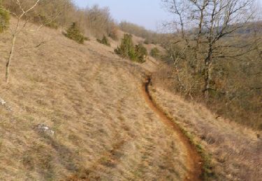
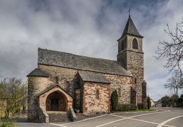
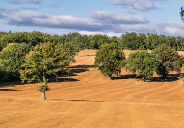
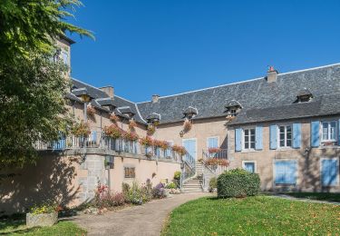
Voilà une balade sans difficulté à faire absolument ,qui emprunte de très beaux chemins tantôt monotraces tantôt larges à travers les plus typiques paysages du Causse Ruthénois A voir: Le Causse à Comtal avec ses landes couvertes de genévriers. Le Causse de Lanhac avec ses murs caussenards reconstruits (partie sous la Mazarie). Le colossal dolmen à droite visible du chemin au nord de Bezonnes. Bezonnes, village caussenard.
Mountainbike
Mountainbike
Te voet
Te voet
Te voet
Te voet
Te voet

Stappen
Te voet
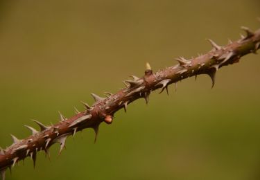
Très beau parcours ! Juste à un moment où il a fallu sauter des barbelés car il n'y avait plus de chemin sinon rien à dire . Pas de difficultés particulières.